Western Arm of Leighton Reservoir
Introduction
The photograph on this page of Western Arm of Leighton Reservoir by G Laird as part of the Geograph project.
The Geograph project started in 2005 with the aim of publishing, organising and preserving representative images for every square kilometre of Great Britain, Ireland and the Isle of Man.

There are currently over 7.5m images from over 14,400 individuals and you can help contribute to the project by visiting https://www.geograph.org.uk
Western Arm of Leighton Reservoir
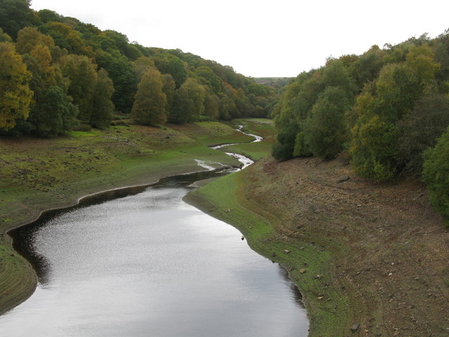
Image: © G Laird Taken: 12 Oct 2017
Leighton Reservoir is about four miles west of Masham. Water from the reservoir is used to compensate for abstraction from the River Ure. On the day of my visit, the level of the water in the reservoir was so low that it looked more like Grimes Gill which flows into the western arm.
Images are licensed for reuse under creativecommons.org/licenses/by-sa/2.0
Image Location
Latitude
54.203463
Longitude
-1.766948