Path along the northern end of the golf club
Introduction
The photograph on this page of Path along the northern end of the golf club by DS Pugh as part of the Geograph project.
The Geograph project started in 2005 with the aim of publishing, organising and preserving representative images for every square kilometre of Great Britain, Ireland and the Isle of Man.

There are currently over 7.5m images from over 14,400 individuals and you can help contribute to the project by visiting https://www.geograph.org.uk
Path along the northern end of the golf club
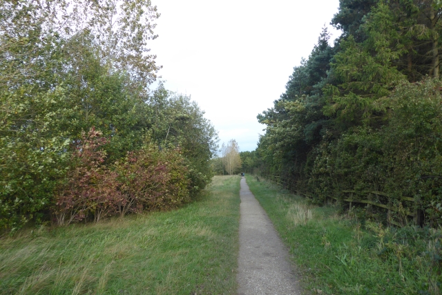
Image: © DS Pugh Taken: 7 Oct 2017
Running along the northern perimeter of Oakdale golf club linking Queen Ethelburga's Park to Jennyfield.
Images are licensed for reuse under creativecommons.org/licenses/by-sa/2.0
Image Location
Latitude
53.998376
Longitude
-1.573292