Leek Old Road
Introduction
The photograph on this page of Leek Old Road by David Smith as part of the Geograph project.
The Geograph project started in 2005 with the aim of publishing, organising and preserving representative images for every square kilometre of Great Britain, Ireland and the Isle of Man.

There are currently over 7.5m images from over 14,400 individuals and you can help contribute to the project by visiting https://www.geograph.org.uk
Leek Old Road
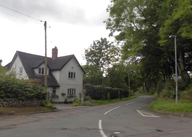
Image: © David Smith Taken: 1 Sep 2017
The former route of the road south-west of Longsdon. The A53 now avoids this narrow, winding road. The 1930s OS map marks this as the main road
Images are licensed for reuse under creativecommons.org/licenses/by-sa/2.0
Image Location
Latitude
53.084818
Longitude
-2.069084