Midelney Farm
Introduction
The photograph on this page of Midelney Farm by Derek Harper as part of the Geograph project.
The Geograph project started in 2005 with the aim of publishing, organising and preserving representative images for every square kilometre of Great Britain, Ireland and the Isle of Man.

There are currently over 7.5m images from over 14,400 individuals and you can help contribute to the project by visiting https://www.geograph.org.uk
Midelney Farm
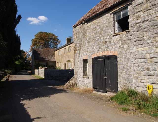
Image: © Derek Harper Taken: 15 Sep 2007
The hamlet of Midelney is on one of several former islands of high ground in the area, amid the marshes of the Parrett and Isle valleys. This farm (details at http://webapp1.somerset.gov.uk/her/details.asp?prn=22379 ) with its mullioned windows, and the stone barn next to it, are immediately southeast of Midelney Manor.
Images are licensed for reuse under creativecommons.org/licenses/by-sa/2.0
Image Location
Latitude
51.001827
Longitude
-2.841211