Newton-le-Willows Cricket Pavilion
Introduction
The photograph on this page of Newton-le-Willows Cricket Pavilion by Chris Heaton as part of the Geograph project.
The Geograph project started in 2005 with the aim of publishing, organising and preserving representative images for every square kilometre of Great Britain, Ireland and the Isle of Man.

There are currently over 7.5m images from over 14,400 individuals and you can help contribute to the project by visiting https://www.geograph.org.uk
Newton-le-Willows Cricket Pavilion
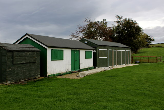
Image: © Chris Heaton Taken: 7 Oct 2017
Structures located on the south eastern edge of the cricket pitch, Newton-le-Willows near Bedale. The club play in the Nidderdale and District League, Division 7 at the time of my visit. There is a public footpath that runs straight across the cricket square, which could be inconvenient on matchdays.
Images are licensed for reuse under creativecommons.org/licenses/by-sa/2.0
Image Location
Latitude
54.298777
Longitude
-1.671606