
Western half of Shrublands Park, south Leamington
Introduction
The photograph on this page of Western half of Shrublands Park, south Leamington by Robin Stott as part of the Geograph project.
The Geograph project started in 2005 with the aim of publishing, organising and preserving representative images for every square kilometre of Great Britain, Ireland and the Isle of Man.

There are currently over 7.5m images from over 14,400 individuals and you can help contribute to the project by visiting https://www.geograph.org.uk
Western half of Shrublands Park, south Leamington
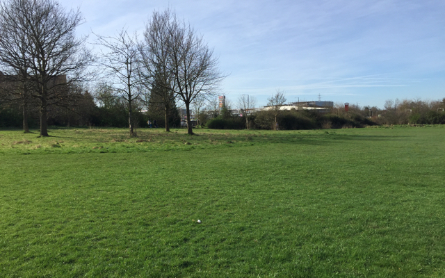
Image: © Robin Stott Taken: 13 Mar 2017
The view is towards the Leamington Shopping Park. In the 1930s this was canalside pasture. A map of 1955 shows new Corporation housing bounded by Queensway, which stopped at the boundary with Warwick Borough. Not until the 1980s and the M40 extension from Oxford did all the roads join up. That was made possible by a new bridge Image to carry the A452 over the rerouted canal, leaving this open space reduced in size. The area bounded by the canal is seen in Image Formerly known as Bury Road Recreation Ground, it had a makeover in 2000 and was renamed Shrublands Park. The name remembers long-gone Shrublands Hall.
Images are licensed for reuse under creativecommons.org/licenses/by-sa/2.0
Image Location

Latitude
52.281549
Longitude
-1.545549