Cwm Chwefru
Introduction
The photograph on this page of Cwm Chwefru by Alan Richards as part of the Geograph project.
The Geograph project started in 2005 with the aim of publishing, organising and preserving representative images for every square kilometre of Great Britain, Ireland and the Isle of Man.

There are currently over 7.5m images from over 14,400 individuals and you can help contribute to the project by visiting https://www.geograph.org.uk
Cwm Chwefru
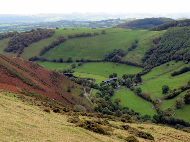
Image: © Alan Richards Taken: 8 Oct 2017
Edrych i lawr ar Gwm Chwefru. Dyma hefyd yw enw'r anhedd-dy yn y pellter. Looking down on Gwm Chwefru (trans. Chwefru [river] valley). This is also the name of the property in the distance.
Images are licensed for reuse under creativecommons.org/licenses/by-sa/2.0
Image Location
Latitude
52.206849
Longitude
-3.524825