Play park, Ferry Street, Jarrow
Introduction
The photograph on this page of Play park, Ferry Street, Jarrow by Graham Robson as part of the Geograph project.
The Geograph project started in 2005 with the aim of publishing, organising and preserving representative images for every square kilometre of Great Britain, Ireland and the Isle of Man.

There are currently over 7.5m images from over 14,400 individuals and you can help contribute to the project by visiting https://www.geograph.org.uk
Play park, Ferry Street, Jarrow
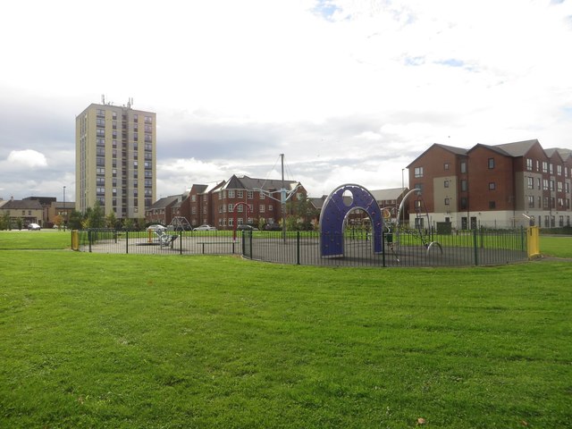
Image: © Graham Robson Taken: 7 Oct 2017
A children's play park located on a large grassed area off Ferry Street in Jarrow. The grassed area is above the route of the Tyne Tunnels.
Images are licensed for reuse under creativecommons.org/licenses/by-sa/2.0
Image Location
Latitude
54.983012
Longitude
-1.485572