Site of Long Sutton & Pitney station, 2001
Introduction
The photograph on this page of Site of Long Sutton & Pitney station, 2001 by Ben Brooksbank as part of the Geograph project.
The Geograph project started in 2005 with the aim of publishing, organising and preserving representative images for every square kilometre of Great Britain, Ireland and the Isle of Man.

There are currently over 7.5m images from over 14,400 individuals and you can help contribute to the project by visiting https://www.geograph.org.uk
Site of Long Sutton & Pitney station, 2001
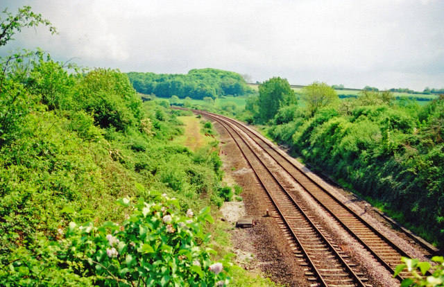
Image: © Ben Brooksbank Taken: 16 May 2001
View eastward, towards Castle Cary, Westbury and London, ex-GWR Castle Cary - Taunton section of the main line to the West Country; the station was closed 10/9/62 to passengers, goods 6/7/64.
Images are licensed for reuse under creativecommons.org/licenses/by-sa/2.0
Image Location
Latitude
51.039511
Longitude
-2.775285