Eastern half of St Mark's Road, Wolverhampton
Introduction
The photograph on this page of Eastern half of St Mark's Road, Wolverhampton by Richard Vince as part of the Geograph project.
The Geograph project started in 2005 with the aim of publishing, organising and preserving representative images for every square kilometre of Great Britain, Ireland and the Isle of Man.

There are currently over 7.5m images from over 14,400 individuals and you can help contribute to the project by visiting https://www.geograph.org.uk
Eastern half of St Mark's Road, Wolverhampton
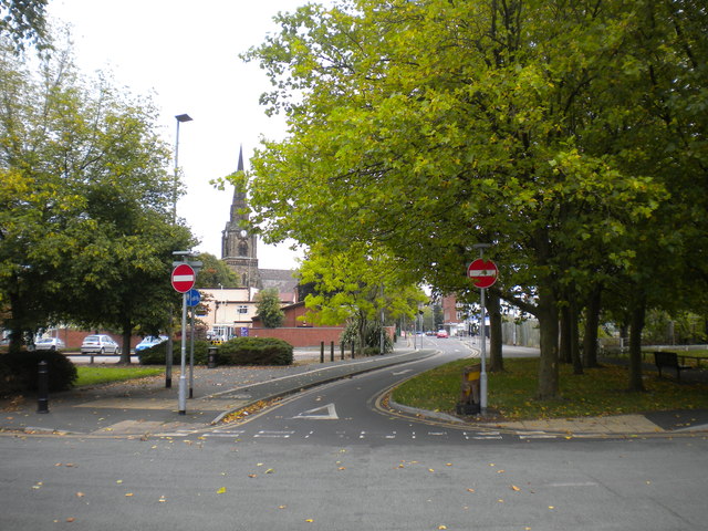
Image: © Richard Vince Taken: 24 Sep 2017
Seen from Lord Street. Having been completely blocked off at this point, this little section of St Mark's Road has quite recently been reopened to westbound vehicular traffic. The church spire visible between the trees on the left is that of the church whose name the road shares.
Images are licensed for reuse under creativecommons.org/licenses/by-sa/2.0
Image Location
Latitude
52.583507
Longitude
-2.139132