Disused barn, Totteridge
Introduction
The photograph on this page of Disused barn, Totteridge by Robin Webster as part of the Geograph project.
The Geograph project started in 2005 with the aim of publishing, organising and preserving representative images for every square kilometre of Great Britain, Ireland and the Isle of Man.

There are currently over 7.5m images from over 14,400 individuals and you can help contribute to the project by visiting https://www.geograph.org.uk
Disused barn, Totteridge
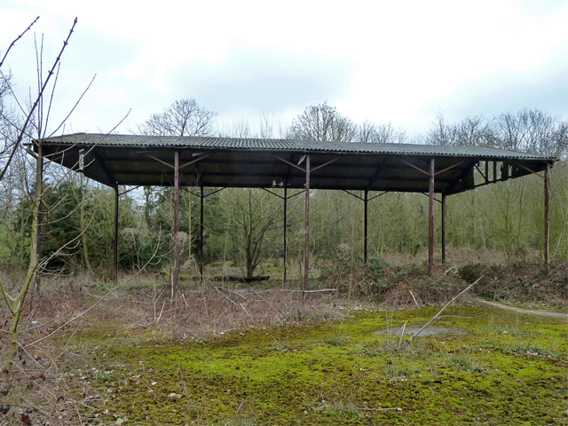
Image: © Robin Webster Taken: 21 Mar 2013
This may be on land now part of the Darlands Lake Nature Reserve, which presumably, judging by its quoted area, extends to rather more than the rather small lake.
Images are licensed for reuse under creativecommons.org/licenses/by-sa/2.0
Image Location


Leaflet Map data © OpenStreetMap
Latitude
51.630099
Longitude
-0.205383