Girdle Stanes Stone Circle
Introduction
The photograph on this page of Girdle Stanes Stone Circle by G Laird as part of the Geograph project.
The Geograph project started in 2005 with the aim of publishing, organising and preserving representative images for every square kilometre of Great Britain, Ireland and the Isle of Man.

There are currently over 7.5m images from over 14,400 individuals and you can help contribute to the project by visiting https://www.geograph.org.uk
Girdle Stanes Stone Circle
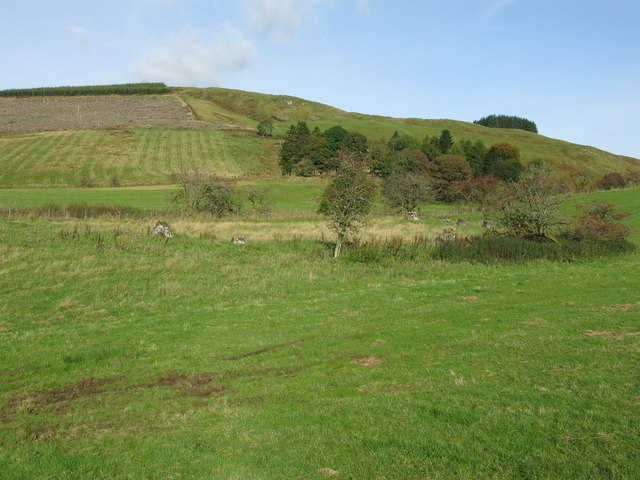
Image: © G Laird Taken: 6 Oct 2017
The Girdle Stanes are situated on the floodplain beside the White Esk, and must once have been a nearly true circle about 38 metres in diameter. Over centuries the White Esk has swept stones away from the circle as it has changed its course in the valley. Of the original 40 to 45 stones, 21 survive, set in a substantial bank. The stone circle perhaps dates back to 4000BC.
Images are licensed for reuse under creativecommons.org/licenses/by-sa/2.0
Image Location
Latitude
55.25385
Longitude
-3.176102