Haverley Lodge
Introduction
The photograph on this page of Haverley Lodge by Robert Graham as part of the Geograph project.
The Geograph project started in 2005 with the aim of publishing, organising and preserving representative images for every square kilometre of Great Britain, Ireland and the Isle of Man.

There are currently over 7.5m images from over 14,400 individuals and you can help contribute to the project by visiting https://www.geograph.org.uk
Haverley Lodge
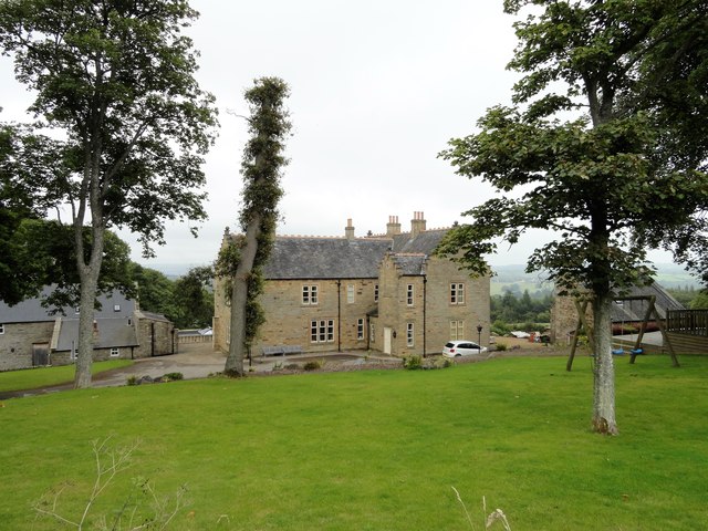
Image: © Robert Graham Taken: 22 Aug 2017
This large house beside the Muggleswick to Healeyfield road was built in the mid C19 as the vicarage for Muggleswick church. It became a private house in the 1950's.
Images are licensed for reuse under creativecommons.org/licenses/by-sa/2.0
Image Location
Latitude
54.839398
Longitude
-1.927879