Charlotte Street at its junction with Townley Street
Introduction
The photograph on this page of Charlotte Street at its junction with Townley Street by John S Turner as part of the Geograph project.
The Geograph project started in 2005 with the aim of publishing, organising and preserving representative images for every square kilometre of Great Britain, Ireland and the Isle of Man.

There are currently over 7.5m images from over 14,400 individuals and you can help contribute to the project by visiting https://www.geograph.org.uk
Charlotte Street at its junction with Townley Street
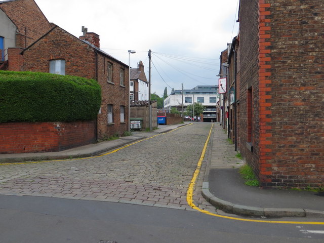
Image: © John S Turner Taken: 21 Jun 2013
Looking north along Charlotte Street from its junction with Townley Street. There is an infilled Ordnance Survey bench mark on the Townley Street wall on the right - Image
Images are licensed for reuse under creativecommons.org/licenses/by-sa/2.0
Image Location
Latitude
53.257272
Longitude
-2.123175