Minchenden Crescent, Southgate
Introduction
The photograph on this page of Minchenden Crescent, Southgate by Stephen McKay as part of the Geograph project.
The Geograph project started in 2005 with the aim of publishing, organising and preserving representative images for every square kilometre of Great Britain, Ireland and the Isle of Man.

There are currently over 7.5m images from over 14,400 individuals and you can help contribute to the project by visiting https://www.geograph.org.uk
Minchenden Crescent, Southgate
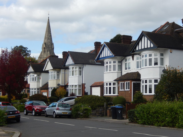
Image: © Stephen McKay Taken: 3 Oct 2017
Minchenden Crescent is part of the Minchenden Estate, an area of slightly superior, mainly semi-detached, houses built in the 1930s on the slope north of Arnos Park. Behind the houses is the spire of Christ Church, Southgate.
Images are licensed for reuse under creativecommons.org/licenses/by-sa/2.0
Image Location
Latitude
51.623929
Longitude
-0.127034