Y Fron village street
Introduction
The photograph on this page of Y Fron village street by Gordon Hatton as part of the Geograph project.
The Geograph project started in 2005 with the aim of publishing, organising and preserving representative images for every square kilometre of Great Britain, Ireland and the Isle of Man.

There are currently over 7.5m images from over 14,400 individuals and you can help contribute to the project by visiting https://www.geograph.org.uk
Y Fron village street
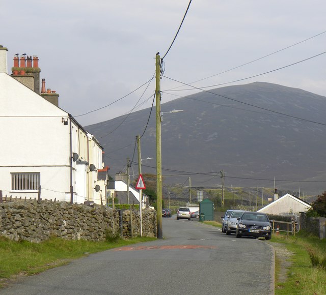
Image: © Gordon Hatton Taken: 26 Sep 2017
Y Fron is a linear village with houses lining this road and one other. The road here was once shared with a tramway carrying slate from nearby quarries, eventually meeting a railway line for transport to Caernarfon dock. There's a primary school here [hidden to the right of the parked cars], a bus service [note the green shelter], but I failed to see a shop. The background is dominated by the bulky shape of Mynydd Mawr.
Images are licensed for reuse under creativecommons.org/licenses/by-sa/2.0
Image Location
Latitude
53.069889
Longitude
-4.22894