Road junction, Y Fron
Introduction
The photograph on this page of Road junction, Y Fron by Gordon Hatton as part of the Geograph project.
The Geograph project started in 2005 with the aim of publishing, organising and preserving representative images for every square kilometre of Great Britain, Ireland and the Isle of Man.

There are currently over 7.5m images from over 14,400 individuals and you can help contribute to the project by visiting https://www.geograph.org.uk
Road junction, Y Fron
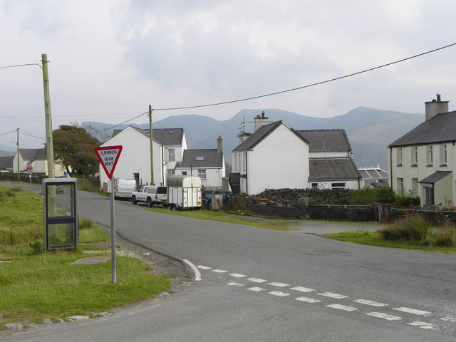
Image: © Gordon Hatton Taken: 26 Sep 2017
Y Fron is a former slate quarrying village on the western edge of Snowdonia and situated at close to the 1000ft contour. One might guess that the village enjoys copious amounts of rain as well as the occasional hill fog. On this occasion it was bright with some sunny spells.
Images are licensed for reuse under creativecommons.org/licenses/by-sa/2.0
Image Location
Latitude
53.070114
Longitude
-4.23134