Kirkgate Thirsk
Introduction
The photograph on this page of Kirkgate Thirsk by Martin Dawes as part of the Geograph project.
The Geograph project started in 2005 with the aim of publishing, organising and preserving representative images for every square kilometre of Great Britain, Ireland and the Isle of Man.

There are currently over 7.5m images from over 14,400 individuals and you can help contribute to the project by visiting https://www.geograph.org.uk
Kirkgate Thirsk
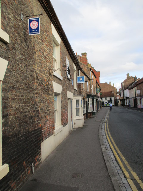
Image: © Martin Dawes Taken: 8 Sep 2017
Outside our accommodation for the night having walked from Boroughbridge, the first section of The Swale Way. 16 miles.
Images are licensed for reuse under creativecommons.org/licenses/by-sa/2.0
Image Location
Latitude
54.232911
Longitude
-1.344135