Former RUC Station at Mayobridge
Introduction
The photograph on this page of Former RUC Station at Mayobridge by Eric Jones as part of the Geograph project.
The Geograph project started in 2005 with the aim of publishing, organising and preserving representative images for every square kilometre of Great Britain, Ireland and the Isle of Man.

There are currently over 7.5m images from over 14,400 individuals and you can help contribute to the project by visiting https://www.geograph.org.uk
Former RUC Station at Mayobridge
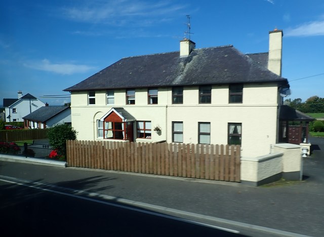
Image: © Eric Jones Taken: 25 Sep 2017
This was built to a standard design by TFO Rippingham - an English born civil servant.
Images are licensed for reuse under creativecommons.org/licenses/by-sa/2.0
Image Location
Latitude
54.181386
Longitude
-6.228175