Burn of Corogle
Introduction
The photograph on this page of Burn of Corogle by Scott Cormie as part of the Geograph project.
The Geograph project started in 2005 with the aim of publishing, organising and preserving representative images for every square kilometre of Great Britain, Ireland and the Isle of Man.

There are currently over 7.5m images from over 14,400 individuals and you can help contribute to the project by visiting https://www.geograph.org.uk
Burn of Corogle
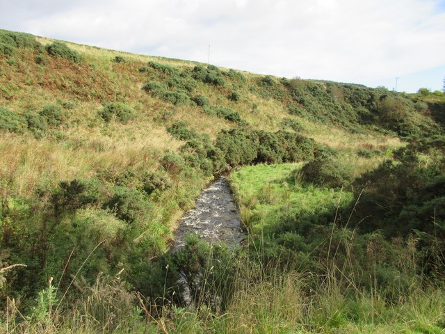
Image: © Scott Cormie Taken: 2 Oct 2017
The Burn of Corogle from the bridge on the Pearsie to Glen Prosen road.
Images are licensed for reuse under creativecommons.org/licenses/by-sa/2.0
Image Location
Latitude
56.733283
Longitude
-3.046525