Thatched Tollhouse
Introduction
The photograph on this page of Thatched Tollhouse by Phil Williams as part of the Geograph project.
The Geograph project started in 2005 with the aim of publishing, organising and preserving representative images for every square kilometre of Great Britain, Ireland and the Isle of Man.

There are currently over 7.5m images from over 14,400 individuals and you can help contribute to the project by visiting https://www.geograph.org.uk
Thatched Tollhouse
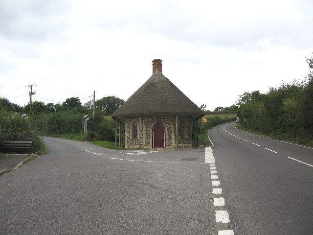
Image: © Phil Williams Taken: 18 Sep 2005
This thatched tollhouse is now a private residence and is on Snowdon Hill at the junction of the A30 (right) and a minor road (left) leading to Wambrook.
Images are licensed for reuse under creativecommons.org/licenses/by-sa/2.0
Image Location


Leaflet Map data © OpenStreetMap
Latitude
50.873686
Longitude
-2.97918