Back lane and path on the west side of Maesyffynon Terrace, Trealaw
Introduction
The photograph on this page of Back lane and path on the west side of Maesyffynon Terrace, Trealaw by Jaggery as part of the Geograph project.
The Geograph project started in 2005 with the aim of publishing, organising and preserving representative images for every square kilometre of Great Britain, Ireland and the Isle of Man.

There are currently over 7.5m images from over 14,400 individuals and you can help contribute to the project by visiting https://www.geograph.org.uk
Back lane and path on the west side of Maesyffynon Terrace, Trealaw
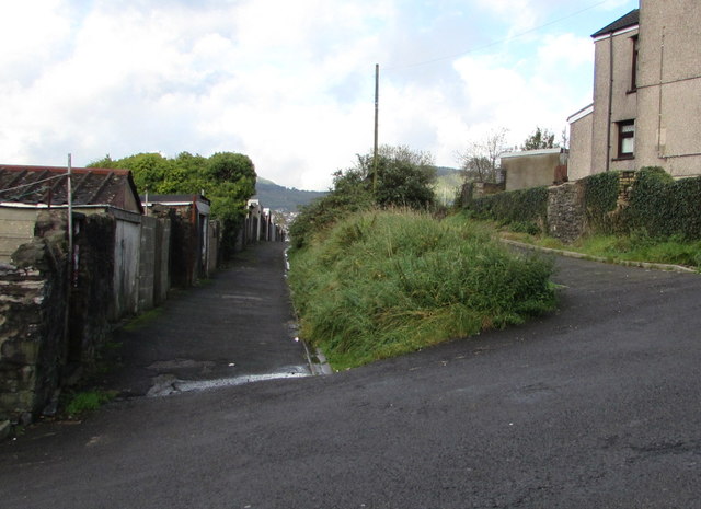
Image: © Jaggery Taken: 28 Sep 2017
Opposite the Pinewood Drive junction, http://www.geograph.org.uk/photo/5556101 the lower level lane on the left extends to Rhys Street. The path on the right leads to the top end of Maesyffynon Terrace near Sycamore Drive.
Images are licensed for reuse under creativecommons.org/licenses/by-sa/2.0
Image Location
Latitude
51.619739
Longitude
-3.443379