Kaim of Mathers - St Cyrus
Introduction
The photograph on this page of Kaim of Mathers - St Cyrus by Lloyd Housley as part of the Geograph project.
The Geograph project started in 2005 with the aim of publishing, organising and preserving representative images for every square kilometre of Great Britain, Ireland and the Isle of Man.

There are currently over 7.5m images from over 14,400 individuals and you can help contribute to the project by visiting https://www.geograph.org.uk
Kaim of Mathers - St Cyrus
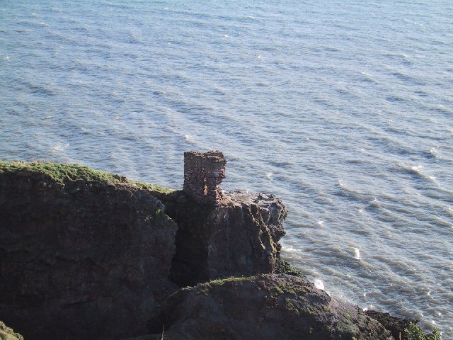
Image: © Lloyd Housley Taken: 7 Feb 2004
Almost inaccessible eyrie, poised between land and sea on the cliff top near St Cyrus.
Images are licensed for reuse under creativecommons.org/licenses/by-sa/2.0
Image Location


Leaflet Map data © OpenStreetMap
Latitude
56.774182
Longitude
-2.386125