Howe of Auchterless
Introduction
The photograph on this page of Howe of Auchterless by Anne Burgess as part of the Geograph project.
The Geograph project started in 2005 with the aim of publishing, organising and preserving representative images for every square kilometre of Great Britain, Ireland and the Isle of Man.

There are currently over 7.5m images from over 14,400 individuals and you can help contribute to the project by visiting https://www.geograph.org.uk
Howe of Auchterless
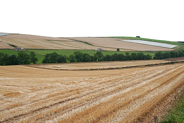
Image: © Anne Burgess Taken: 13 Sep 2007
Farm land slopes gently down to the River Ythan, the course of which is marked by the line of trees.
Images are licensed for reuse under creativecommons.org/licenses/by-sa/2.0
Image Location
Latitude
57.468378
Longitude
-2.471276