Incline at Tanygrisiau
Introduction
The photograph on this page of Incline at Tanygrisiau by David Stowell as part of the Geograph project.
The Geograph project started in 2005 with the aim of publishing, organising and preserving representative images for every square kilometre of Great Britain, Ireland and the Isle of Man.

There are currently over 7.5m images from over 14,400 individuals and you can help contribute to the project by visiting https://www.geograph.org.uk
Incline at Tanygrisiau
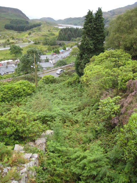
Image: © David Stowell Taken: 2 Aug 2007
Nature has reclaimed, but not totally obscured this inclines from the slate quarries above the village down to the Ffestiniog Railway, just visible beyond the parked car in the middle of this picture.
Images are licensed for reuse under creativecommons.org/licenses/by-sa/2.0
Image Location


Leaflet Map data © OpenStreetMap
Latitude
52.986153
Longitude
-3.960327