Farm Buildings North of Hollinwood
Introduction
The photograph on this page of Farm Buildings North of Hollinwood by Paul Collins as part of the Geograph project.
The Geograph project started in 2005 with the aim of publishing, organising and preserving representative images for every square kilometre of Great Britain, Ireland and the Isle of Man.

There are currently over 7.5m images from over 14,400 individuals and you can help contribute to the project by visiting https://www.geograph.org.uk
Farm Buildings North of Hollinwood
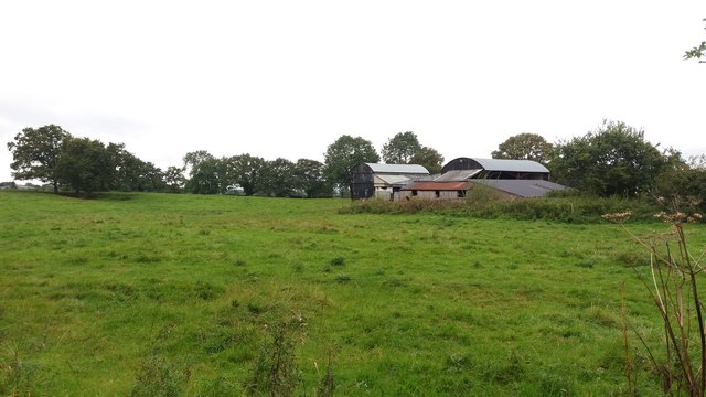
Image: © Paul Collins Taken: 23 Sep 2017
These agricultural buildings, seen from the lane, are next to Sandford Cottage (not visible).
Images are licensed for reuse under creativecommons.org/licenses/by-sa/2.0
Image Location
Latitude
52.929249
Longitude
-2.713718