Afon y Garth
Introduction
The photograph on this page of Afon y Garth by Jonathan Wilkins as part of the Geograph project.
The Geograph project started in 2005 with the aim of publishing, organising and preserving representative images for every square kilometre of Great Britain, Ireland and the Isle of Man.

There are currently over 7.5m images from over 14,400 individuals and you can help contribute to the project by visiting https://www.geograph.org.uk
Afon y Garth
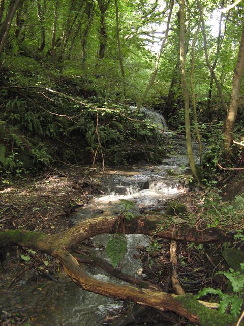
Image: © Jonathan Wilkins Taken: 16 Sep 2017
Looking upstream at cascades falling over rock outcrops which are formed in the Gwespyr Sandstone of Carboniferous (Namurian) age. Woodlands in this dingle are a nature reserve.
Images are licensed for reuse under creativecommons.org/licenses/by-sa/2.0
Image Location
Latitude
53.321833
Longitude
-3.313416