Ley Mary Farmhouse, Windrush
Introduction
The photograph on this page of Ley Mary Farmhouse, Windrush by Chris Brown as part of the Geograph project.
The Geograph project started in 2005 with the aim of publishing, organising and preserving representative images for every square kilometre of Great Britain, Ireland and the Isle of Man.

There are currently over 7.5m images from over 14,400 individuals and you can help contribute to the project by visiting https://www.geograph.org.uk
Ley Mary Farmhouse, Windrush
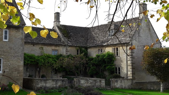
Image: © Chris Brown Taken: 29 Sep 2017
This late 17th century house is the most distinguished of a group raised on a grass bank on the west side of the green.
Images are licensed for reuse under creativecommons.org/licenses/by-sa/2.0
Image Location
Latitude
51.816021
Longitude
-1.722004