Trinity House Flats, Port Talbot
Introduction
The photograph on this page of Trinity House Flats, Port Talbot by David Hillas as part of the Geograph project.
The Geograph project started in 2005 with the aim of publishing, organising and preserving representative images for every square kilometre of Great Britain, Ireland and the Isle of Man.

There are currently over 7.5m images from over 14,400 individuals and you can help contribute to the project by visiting https://www.geograph.org.uk
Trinity House Flats, Port Talbot
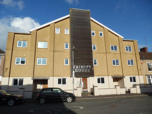
Image: © David Hillas Taken: 8 Sep 2017
Located at 60-63 Tydraw Street SA13 1BR, this building replaced the Trinity Methodist Church during the Noughties, and has sixteen self-contained flats and car parking spaces.
Images are licensed for reuse under creativecommons.org/licenses/by-sa/2.0
Image Location
Latitude
51.594261
Longitude
-3.779537