Chandler's Way, Aldringham
Introduction
The photograph on this page of Chandler's Way, Aldringham by Christopher Hilton as part of the Geograph project.
The Geograph project started in 2005 with the aim of publishing, organising and preserving representative images for every square kilometre of Great Britain, Ireland and the Isle of Man.

There are currently over 7.5m images from over 14,400 individuals and you can help contribute to the project by visiting https://www.geograph.org.uk
Chandler's Way, Aldringham
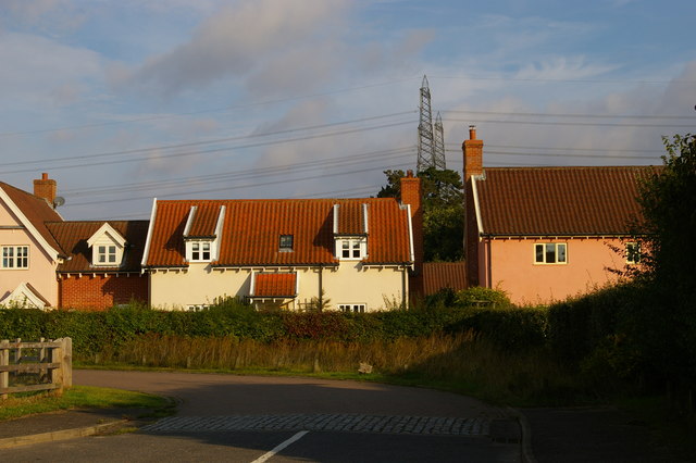
Image: © Christopher Hilton Taken: 21 Sep 2017
This development of new houses includes some in the area's traditional "Suffolk pink". Behind, the pylon lines carrying electricity from Sizewell nuclear power stations.
Images are licensed for reuse under creativecommons.org/licenses/by-sa/2.0
Image Location
Latitude
52.193517
Longitude
1.576159