The Vine public house
Introduction
The photograph on this page of The Vine public house by Marathon as part of the Geograph project.
The Geograph project started in 2005 with the aim of publishing, organising and preserving representative images for every square kilometre of Great Britain, Ireland and the Isle of Man.

There are currently over 7.5m images from over 14,400 individuals and you can help contribute to the project by visiting https://www.geograph.org.uk
The Vine public house
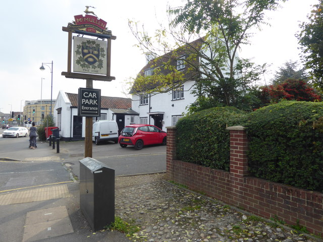
Image: © Marathon Taken: 27 Sep 2017
The Vine public house is alongside High Street and just before the large and busy roundabout where High Street meets the A121. It is clearly an old building which has had its surroundings completely changed (and not for the better) by road building nearby, particularly the A121.
Images are licensed for reuse under creativecommons.org/licenses/by-sa/2.0
Image Location
Latitude
51.689849
Longitude
-0.033888