Bishop?s Tawton: lane to Heaton
Introduction
The photograph on this page of Bishop?s Tawton: lane to Heaton by Martin Bodman as part of the Geograph project.
The Geograph project started in 2005 with the aim of publishing, organising and preserving representative images for every square kilometre of Great Britain, Ireland and the Isle of Man.

There are currently over 7.5m images from over 14,400 individuals and you can help contribute to the project by visiting https://www.geograph.org.uk
Bishop?s Tawton: lane to Heaton
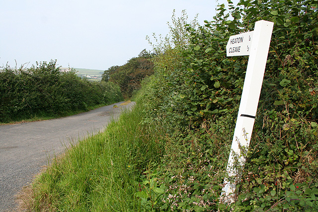
Image: © Martin Bodman Taken: 13 Sep 2007
Cleave is reachable but not on tarmac: it means driving through a gated farmyard at Heaton and then on by an unsurfaced track
Images are licensed for reuse under creativecommons.org/licenses/by-sa/2.0
Image Location


Leaflet Map data © OpenStreetMap
Latitude
51.030446
Longitude
-4.021121