Hardacre Street, Ince-in-Makerfield
Introduction
The photograph on this page of Hardacre Street, Ince-in-Makerfield by Jaggery as part of the Geograph project.
The Geograph project started in 2005 with the aim of publishing, organising and preserving representative images for every square kilometre of Great Britain, Ireland and the Isle of Man.

There are currently over 7.5m images from over 14,400 individuals and you can help contribute to the project by visiting https://www.geograph.org.uk
Hardacre Street, Ince-in-Makerfield
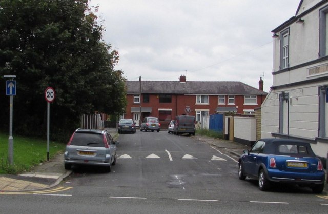
Image: © Jaggery Taken: 23 Sep 2017
From Warrington Road along Hardacre Street past speed bumps towards Harvey Street. The Rock Ferry Inn http://www.geograph.org.uk/photo/5549313 is on the right.
Images are licensed for reuse under creativecommons.org/licenses/by-sa/2.0
Image Location
Latitude
53.537789
Longitude
-2.619802