The Pandy, Tonypandy
Introduction
The photograph on this page of The Pandy, Tonypandy by Jaggery as part of the Geograph project.
The Geograph project started in 2005 with the aim of publishing, organising and preserving representative images for every square kilometre of Great Britain, Ireland and the Isle of Man.

There are currently over 7.5m images from over 14,400 individuals and you can help contribute to the project by visiting https://www.geograph.org.uk
The Pandy, Tonypandy
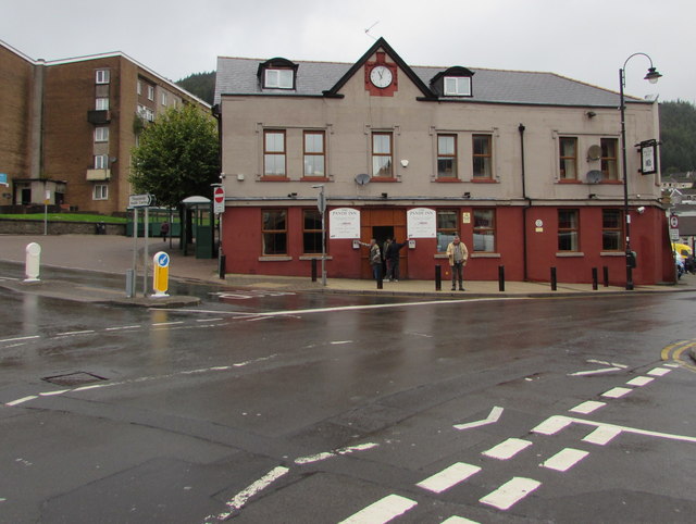
Image: © Jaggery Taken: 21 Sep 2017
Pub at the crossroads of De Winton Street, Llwynypia Road, Court Street and Church Street. This area is often referred to as Tonypandy Square or Pandy Square. http://www.geograph.org.uk/photo/5545932 to the name sign on the wall on the right.
Images are licensed for reuse under creativecommons.org/licenses/by-sa/2.0
Image Location
Latitude
51.625317
Longitude
-3.457714