Churston Station
Introduction
The photograph on this page of Churston Station by Tony Atkin as part of the Geograph project.
The Geograph project started in 2005 with the aim of publishing, organising and preserving representative images for every square kilometre of Great Britain, Ireland and the Isle of Man.

There are currently over 7.5m images from over 14,400 individuals and you can help contribute to the project by visiting https://www.geograph.org.uk
Churston Station
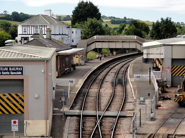
Image: © Tony Atkin Taken: 16 Jul 2016
A view from the road bridge over the railway line. Churston station is approximately the halfway point and highest point on the Paignton to Kingswear steam railway. It's downhill all the way from here in either direction.
Images are licensed for reuse under creativecommons.org/licenses/by-sa/2.0
Image Location


Leaflet Map data © OpenStreetMap
Latitude
50.39615
Longitude
-3.556992