South and uphill on Cape Road, Warwick
Introduction
The photograph on this page of South and uphill on Cape Road, Warwick by Robin Stott as part of the Geograph project.
The Geograph project started in 2005 with the aim of publishing, organising and preserving representative images for every square kilometre of Great Britain, Ireland and the Isle of Man.

There are currently over 7.5m images from over 14,400 individuals and you can help contribute to the project by visiting https://www.geograph.org.uk
South and uphill on Cape Road, Warwick
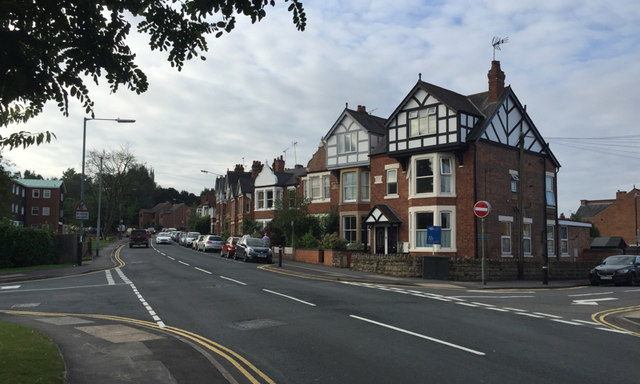
Image: © Robin Stott Taken: 31 Aug 2016
The view from north of the bridge over the railway; entry to Spring Pool residential development on the left Image, Cape Road Clinic beyond; Victoria Street on the right Image
Images are licensed for reuse under creativecommons.org/licenses/by-sa/2.0
Image Location
Latitude
52.28531
Longitude
-1.590515