Mickelton
Introduction
The photograph on this page of Mickelton by David Stowell as part of the Geograph project.
The Geograph project started in 2005 with the aim of publishing, organising and preserving representative images for every square kilometre of Great Britain, Ireland and the Isle of Man.

There are currently over 7.5m images from over 14,400 individuals and you can help contribute to the project by visiting https://www.geograph.org.uk
Mickelton
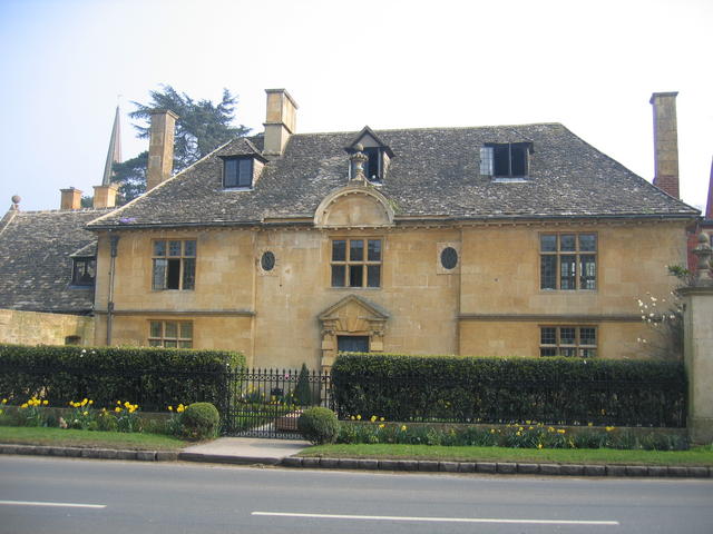
Image: © David Stowell Taken: 27 Mar 2007
This fine Queen Anne House, built in Cotswold ashlar, is in the High Street near Mickleton Manor.
Images are licensed for reuse under creativecommons.org/licenses/by-sa/2.0
Image Location


Leaflet Map data © OpenStreetMap
Latitude
52.08962
Longitude
-1.767889