Barn below Blazefield
Introduction
The photograph on this page of Barn below Blazefield by Alan Murray-Rust as part of the Geograph project.
The Geograph project started in 2005 with the aim of publishing, organising and preserving representative images for every square kilometre of Great Britain, Ireland and the Isle of Man.

There are currently over 7.5m images from over 14,400 individuals and you can help contribute to the project by visiting https://www.geograph.org.uk
Barn below Blazefield
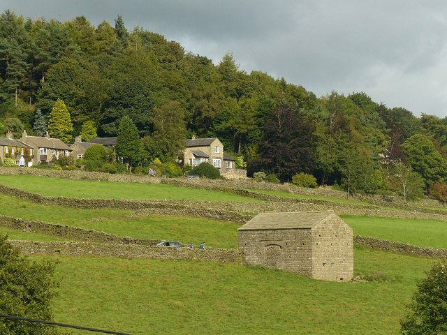
Image: © Alan Murray-Rust Taken: 9 Sep 2017
A very typical Dales barn, with large cart door.
Images are licensed for reuse under creativecommons.org/licenses/by-sa/2.0
Image Location
Latitude
54.080535
Longitude
-1.733552