Valley of the upper Afon Clwyd
Introduction
The photograph on this page of Valley of the upper Afon Clwyd by malcolm2505 as part of the Geograph project.
The Geograph project started in 2005 with the aim of publishing, organising and preserving representative images for every square kilometre of Great Britain, Ireland and the Isle of Man.

There are currently over 7.5m images from over 14,400 individuals and you can help contribute to the project by visiting https://www.geograph.org.uk
Valley of the upper Afon Clwyd
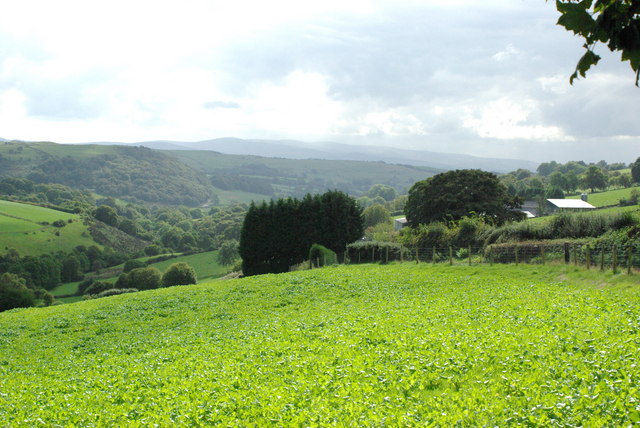
Image: © malcolm2505 Taken: 12 Sep 2007
View towards the Berwyn Mountains. The farm to the left is Pendre-bach. It is not named on the inset map, although Pendre-fawr lower down the road is named.
Images are licensed for reuse under creativecommons.org/licenses/by-sa/2.0
Image Location


Leaflet Map data © OpenStreetMap
Latitude
53.035784
Longitude
-3.437885