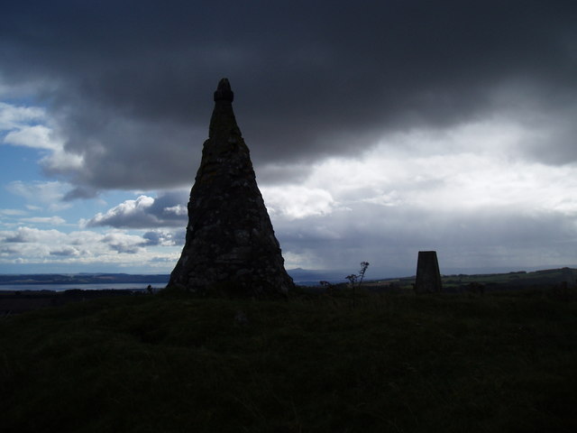
Cairn and trig point on West Mains Hill
Introduction
The photograph on this page of Cairn and trig point on West Mains Hill by Douglas Nelson as part of the Geograph project.
The Geograph project started in 2005 with the aim of publishing, organising and preserving representative images for every square kilometre of Great Britain, Ireland and the Isle of Man.
There are currently over 7.5m images from over 14,400 individuals and you can help contribute to the project by visiting https://www.geograph.org.uk

Image: © Douglas Nelson Taken: 14 Sep 2017
The cairn is beginning to show signs of weathering in that the outer layer of cement is crumbling and exposing the stones. The reason for its construction is a mystery. But not any longer. See https://canmore.org.uk/site/31900/west-mains . According to Canmore "The monument comprises the remains of a burial cairn situated in rough pasture at around 290m OD on the summit of West Mains Hill. It is grass-covered and measures some 21m E-W by about 22m N-S, and about 1.5m maximum height. Excavations in 1897 uncovered a double cist in the centre of the cairn containing evidence for Bronze Age burials, along with signs of structural complexity in the cairn's construction. These early excavations are probably responsible for two areas of disturbance visible in the centre and on the NW of the cairn surface. The cairn is otherwise intact and is surmounted by an Ordnance Survey trig point and a modern monument apparently constructed from spoil from the 1897 excavations." Information from Historic Scotland, scheduling document dated 23 December 1996

