Levelled ground
Introduction
The photograph on this page of Levelled ground by Richard Webb as part of the Geograph project.
The Geograph project started in 2005 with the aim of publishing, organising and preserving representative images for every square kilometre of Great Britain, Ireland and the Isle of Man.

There are currently over 7.5m images from over 14,400 individuals and you can help contribute to the project by visiting https://www.geograph.org.uk
Levelled ground
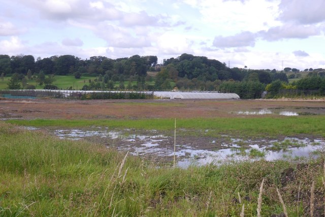
Image: © Richard Webb Taken: 9 Sep 2017
A flat area cut out of a field. It was rather waterlogged, and is almost certainly the site of future expansion of the Caldwell nursery glasshouses.
Images are licensed for reuse under creativecommons.org/licenses/by-sa/2.0
Image Location
Latitude
55.752818
Longitude
-4.517192