Minor arch, Murtry Aqueduct
Introduction
The photograph on this page of Minor arch, Murtry Aqueduct by Robin Webster as part of the Geograph project.
The Geograph project started in 2005 with the aim of publishing, organising and preserving representative images for every square kilometre of Great Britain, Ireland and the Isle of Man.

There are currently over 7.5m images from over 14,400 individuals and you can help contribute to the project by visiting https://www.geograph.org.uk
Minor arch, Murtry Aqueduct
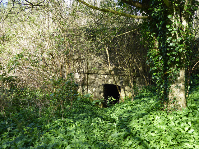
Image: © Robin Webster Taken: 2 Apr 2017
It forms a small shelter, being blocked off not far inside. It originally passed right through, forming a passage under the canal on the east bank of the Mells River. The other side, which I did not notice in 2017, is seen in a 2011 view: Image Has it been filled in or is it just hiding behind some years of vegetative growth?
Images are licensed for reuse under creativecommons.org/licenses/by-sa/2.0
Image Location


Leaflet Map data © OpenStreetMap
Latitude
51.246513
Longitude
-2.341789