Glenkindie standing stone
Introduction
The photograph on this page of Glenkindie standing stone by Bill Harrison as part of the Geograph project.
The Geograph project started in 2005 with the aim of publishing, organising and preserving representative images for every square kilometre of Great Britain, Ireland and the Isle of Man.

There are currently over 7.5m images from over 14,400 individuals and you can help contribute to the project by visiting https://www.geograph.org.uk
Glenkindie standing stone
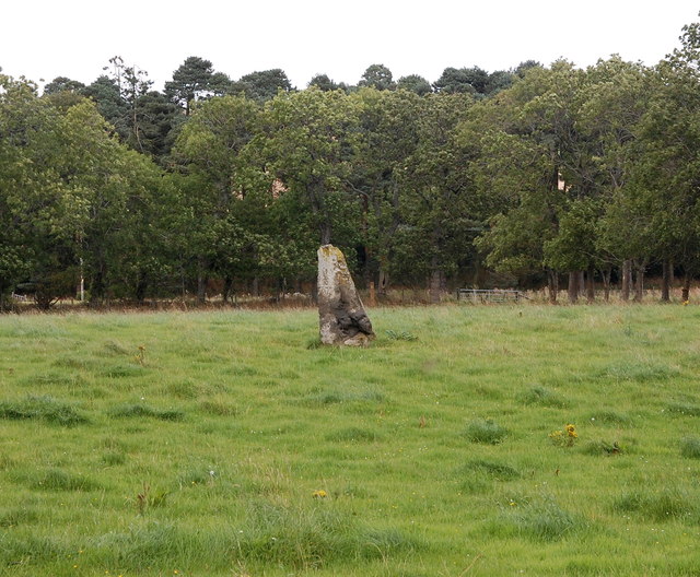
Image: © Bill Harrison Taken: 3 Sep 2017
Canmore reference 17168: https://canmore.org.uk/site/17168/glenkindie . The stone fell over as recently as 1991 but the farmer re-erected the stone the next year.
Images are licensed for reuse under creativecommons.org/licenses/by-sa/2.0
Image Location
Latitude
57.210963
Longitude
-2.931538