St Mary, Kirkburn - graveyard
Introduction
The photograph on this page of St Mary, Kirkburn - graveyard by Stephen Craven as part of the Geograph project.
The Geograph project started in 2005 with the aim of publishing, organising and preserving representative images for every square kilometre of Great Britain, Ireland and the Isle of Man.

There are currently over 7.5m images from over 14,400 individuals and you can help contribute to the project by visiting https://www.geograph.org.uk
St Mary, Kirkburn - graveyard
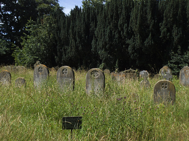
Image: © Stephen Craven Taken: 8 Jul 2017
This part of the graveyard is set aside as a "conservation area" in other words, the grass is deliberately left long. Other parts are more carefully tended.
Images are licensed for reuse under creativecommons.org/licenses/by-sa/2.0
Image Location
Latitude
53.982143
Longitude
-0.507831