Down Malin Hill
Introduction
The photograph on this page of Down Malin Hill by John Sutton as part of the Geograph project.
The Geograph project started in 2005 with the aim of publishing, organising and preserving representative images for every square kilometre of Great Britain, Ireland and the Isle of Man.

There are currently over 7.5m images from over 14,400 individuals and you can help contribute to the project by visiting https://www.geograph.org.uk
Down Malin Hill
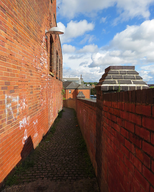
Image: © John Sutton Taken: 9 Sep 2017
A steep and ancient path on the face of the sandstone bluff on which Anglo-Saxon Nottingham developed. It leads from Commerce Square in The Lace Market down to Bellar Gate and London Road.
Images are licensed for reuse under creativecommons.org/licenses/by-sa/2.0
Image Location
Latitude
52.950594
Longitude
-1.142219