Hart Road
Introduction
The photograph on this page of Hart Road by Ian Capper as part of the Geograph project.
The Geograph project started in 2005 with the aim of publishing, organising and preserving representative images for every square kilometre of Great Britain, Ireland and the Isle of Man.

There are currently over 7.5m images from over 14,400 individuals and you can help contribute to the project by visiting https://www.geograph.org.uk
Hart Road
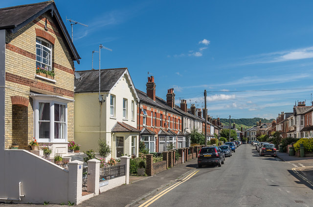
Image: © Ian Capper Taken: 11 Aug 2017
Late Victorian housing in a street running parallel with and north of High Street, with Box Hill in the distance.
Images are licensed for reuse under creativecommons.org/licenses/by-sa/2.0
Image Location


Leaflet Map data © OpenStreetMap
Latitude
51.234028
Longitude
-0.330331