Fortuneswell
Introduction
The photograph on this page of Fortuneswell by Andrew Smith as part of the Geograph project.
The Geograph project started in 2005 with the aim of publishing, organising and preserving representative images for every square kilometre of Great Britain, Ireland and the Isle of Man.

There are currently over 7.5m images from over 14,400 individuals and you can help contribute to the project by visiting https://www.geograph.org.uk
Fortuneswell
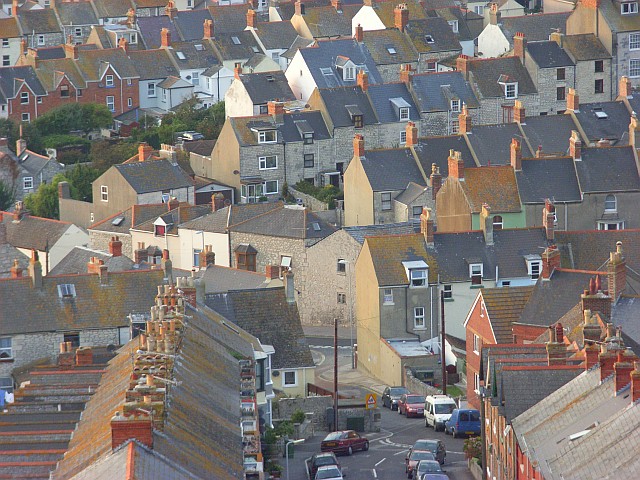
Image: © Andrew Smith Taken: 9 Sep 2007
This is a view of some of the town's terraces from New Road, the A354, as it climbs out of the town. In the foreground is St Martin's Road as it descends to High Street.
Images are licensed for reuse under creativecommons.org/licenses/by-sa/2.0
Image Location


Leaflet Map data © OpenStreetMap
Latitude
50.557706
Longitude
-2.444633