Junction of Warley Hill and Pastoral Way
Introduction
The photograph on this page of Junction of Warley Hill and Pastoral Way by Robin Webster as part of the Geograph project.
The Geograph project started in 2005 with the aim of publishing, organising and preserving representative images for every square kilometre of Great Britain, Ireland and the Isle of Man.

There are currently over 7.5m images from over 14,400 individuals and you can help contribute to the project by visiting https://www.geograph.org.uk
Junction of Warley Hill and Pastoral Way
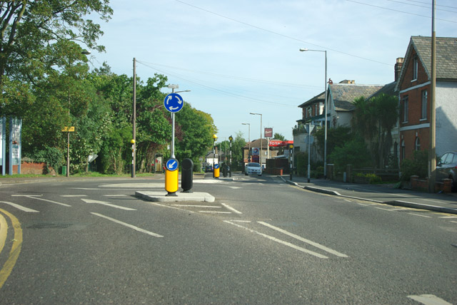
Image: © Robin Webster Taken: 15 Sep 2011
Pastoral Way to the left was formerly the entrance to a large mental hospital, now converted to housing.
Images are licensed for reuse under creativecommons.org/licenses/by-sa/2.0
Image Location
Latitude
51.606508
Longitude
0.296844