Seabegs Wood and Antonine Wall
Introduction
The photograph on this page of Seabegs Wood and Antonine Wall by paul birrell as part of the Geograph project.
The Geograph project started in 2005 with the aim of publishing, organising and preserving representative images for every square kilometre of Great Britain, Ireland and the Isle of Man.

There are currently over 7.5m images from over 14,400 individuals and you can help contribute to the project by visiting https://www.geograph.org.uk
Seabegs Wood and Antonine Wall
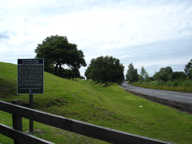
Image: © paul birrell Taken: 7 Jul 2005
View looking west along B816 which runs parallel to one of best preserved parts of the Antonine wall. The ditch and rampart are very visible in this photo
Images are licensed for reuse under creativecommons.org/licenses/by-sa/2.0
Image Location


Leaflet Map data © OpenStreetMap
Latitude
55.993179
Longitude
-3.899092