Lower Upham Airfield, Winchester Road
Introduction
The photograph on this page of Lower Upham Airfield, Winchester Road by Peter Facey as part of the Geograph project.
The Geograph project started in 2005 with the aim of publishing, organising and preserving representative images for every square kilometre of Great Britain, Ireland and the Isle of Man.

There are currently over 7.5m images from over 14,400 individuals and you can help contribute to the project by visiting https://www.geograph.org.uk
Lower Upham Airfield, Winchester Road
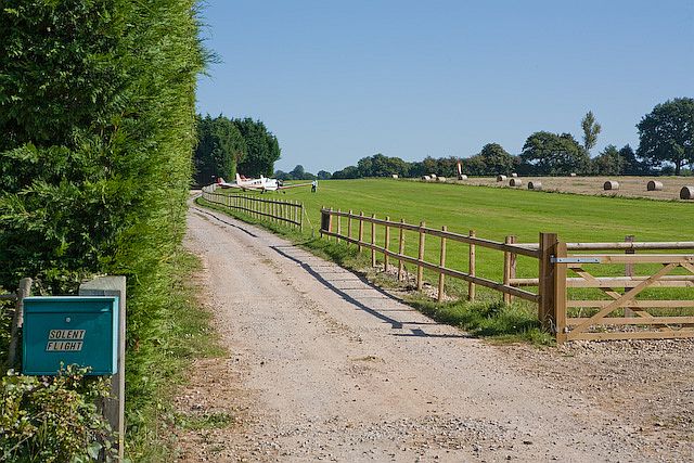
Image: © Peter Facey Taken: 11 Sep 2007
Operated by Solent Flight, see http://www.solentflight.com/
Images are licensed for reuse under creativecommons.org/licenses/by-sa/2.0
Image Location
Latitude
50.971873
Longitude
-1.249383